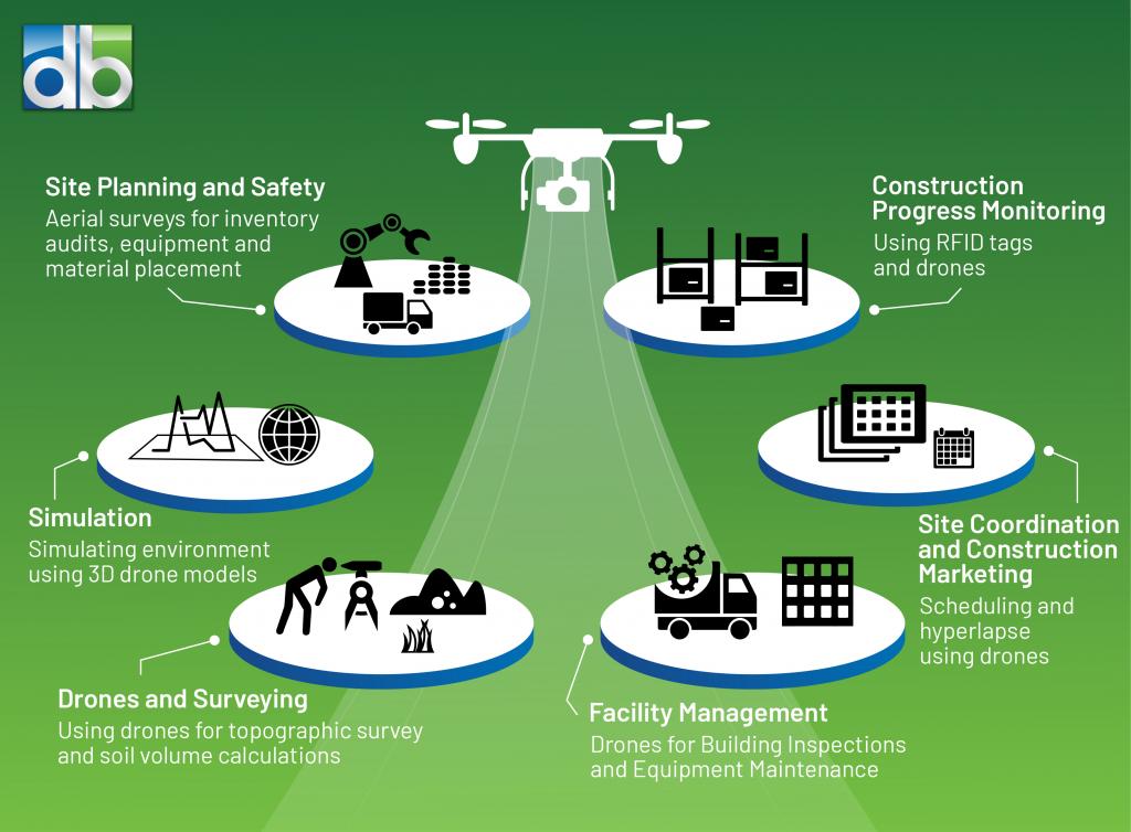
 Unmanned Aerial Vehicles (UAVs), commonly referred to as drones, have become indispensable tools in the engineering industry by improving the accuracy of mapping, measurement, inspection services and 3D modeling, with three very important advantages:
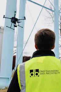
- Greater Safety: Provides access to areas where it may be impossible or dangerous for engineers to perform thorough close-up inspections, e.g. large petroleum tanks, water tanks, building façades, beneath or around bridges/infrastructure, uncompleted building superstructures, condemned or failing structures, etc.
- Greater Efficiency: Allows inspections of large areas for photographic/video documentation, thereby enabling engineers and clients to review data in the office or in the field.
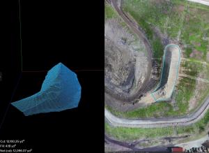
- Lower Costs: Reduces inspection costs, accurately estimates soil “cut and fill” volumes and provides estimates to the contractor before they turn into costly change orders.
D&B’s drone/UAV capabilities can support a variety of projects across their entire lifecycle, from planning/design to construction and inspection. Our experienced team of FAA-licensed drone pilots and our comprehensive drone/UAV systems are ready to support all projects. Enhanced visualization facilitates communication of project benefits and challenges and increases inspection efficiency. This provides more meaningful data, including high-resolution 3D modeling and simulations. D&B drone/UAV capabilities can cover multi-acre sites while continuously capturing GPS-tagged high-definition (4K) video and/or still photographs. Through the use of linked ground control points, a centimeter-level of survey accuracy can be achieved.
D&B’s Expertise
 Planning and Design Phase
- Survey-Grade Digital Mapping and Topographic/Contour Map Creation
- Surface Flow Visualization (Direction, Measure, Volume/Distance and Elevation Change)
- Project Visualization/3D Modeling (Fully Compatible with AutoCAD, Revit and Esri)
- Ortho-Imagery/Point Cloud Capture to Create Renderings
- Prepare Preliminary Site Models to Determine Optimal Location for Infrastructure
- Volumetric Calculations (Stockpile/Earthworks Calculations)
- Document and Calculate Inventory of Equipment, Supplies or Number of Infrastructure Elements
 Construction Phase
- Construction Progress Updates (Pre-/Post-Construction Documentation)
- Daily Volumetric Calculations for Soil Remediation Programs
- Earthworks Projects Including Stockpile Volume Calculations or Cut and Fill Calculations
- Surveying with Centimeter-Level Accuracy
- Overlay Site Plans on Aerial Maps to Monitor Construction Progress and Identify Possible Risks or Potential Mistakes
 Inspection Phase
- Aerial Imaging in Unsafe Conditions (Water Tanks, Cooling Towers, Critical Infrastructure, Railway/Trainline Inspections, Bridge Inspections, etc.)
- Dangerous Site Imaging (Condemned Buildings or Buildings with Potential Structural Instability, Flooded Areas, Rugged Terrain, Railways and Utility Rights-Of-Way)
- Thermal Imaging (Power Line Inspections, Building Envelope Inspections, Crop Productivity Assessments, Solar Productivity Assessments, Building and Equipment Efficiency Inspections)
- Building Envelope Inspections – Pinpoint Temperature Abnormalities and Assess Defects Rapidly
- Underside and Low-Angle Inspections (Bridges, Decks, Eaves, etc.)
- Determine Areas of Concern such as Tree Encroachment on Rights-Of-Way
- Roadway Pavement Inspections
- Cell Tower Inspections
- Site and Damage Assessments
Interested in D&B’s Drone Capabilities?
Please fill out the form below and we will contact you to set up a consultation.
* required fields


Contact Us