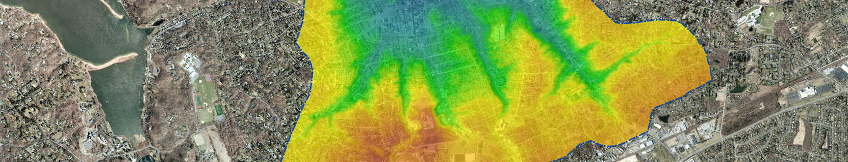
A geographic information system (GIS) is more than just the mapping software—it allows us to tackle real world geographic problems and provide efficient, cost-effective solutions. We utilize various degrees of GIS technology to visualize, analyze, model, and interpret data that provides us with an understanding of the relationships and patterns in all forms of geographically referenced information.
Thoroughly experienced in all facets of GIS design and implementation, we leverage the technology to efficiently manage, analyze, communicate and present elaborate forms of geographic information in a simple manner to our clients. We also utilize the latest Environmental Systems Research Institute, Inc. (ESRI) software that can be fully integrated with other software, such as AutoCAD and EQuls, to support multi-faceted analysis of spatial relationships.
Specialized Expertise
- Environmental Assessment and Impact Analysis
- Environmental Characterization and Review
- Environmental Remediation and Investigations
- Feasibility Studies
- Frameable/Display Maps
- Geodatabase Management/Development
- Historic & Cultural Resource Mapping
- Municipal Comprehensive Plans
- Pedestrian Planning Projects
- Sewer Infrastructure Assessments and Optimization
- Spill Prevention, Control & Countermeasure Plans
- Stormwater Management Plans
- Topographic and Flood Zone Assessments
- Transit, Traffic and Infrastructure Projects
- Water Supply Engineering and Management
- Watershed Management
- Zoning and Land Use Assessments


Contact Us